
Industry Exploration
Integrated Geophysics
Advanced geophysical solutions to reveal what lies beneath, supporting smarter exploration decisions and unlocking the true potential of mineral resources.
About Geophysics Exploration
Seeing Beneath the Surface
for Better Decisions
Integrated geophysics uses advanced technologies to study the subsurface physical properties of the Earth. It helps identify geological structures, detect mineralisation and map key exploration targets, providing valuable insights for efficient and cost-effective exploration.
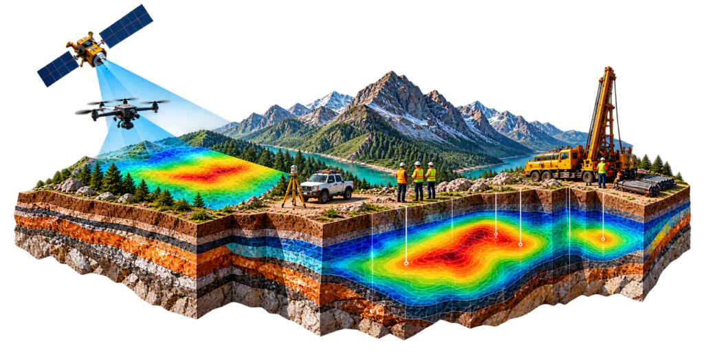
Multi-Method Data Acquisition
Accurate Subsurface Imaging
Informed Resources Decisions
How it works
A Step by Step Exploration Process
We follow an integrated and technology-driven approach to acquire, process and interpret geophysical data.
Survey Planning
& Design
Define objectives, select appropriate geophysical methods and plan survey execution.
Data Acquisition
in the Field
Collection of high-quality geophysical data using ground, airborne or UAV-based systems.
Data Processing
& Modelling
Advanced processing and modelling to generate reliable subsurface images.
Interpretation
& Integration
Integrated analysis with geological and geochemical data to identify prospective targets.
Target Delineation
& Reporting
Clear interpretation, target definition and detailed reporting to support exploration decisions.
What Matter?
Deeper Insights
for Greater Exploration Success
Integrated geophysics reduces exploration risk by providing a clear understanding of subsurface geology and mineral potential. It helps delineate structures, identify alteration zones and map key targets that may not be visible at the surface.
By combining multiple geophysical methods, NAVKON delivers reliable data and meaningful interpretations that support efficient drilling, better resource estimation and more confident decision-making.
Identifies
Concealed Targets
Detects mineralisation beneath cover and complex geology.
Improves Exploration Efficiency
Enables responsible and efficient resource use.
Reduces Exploration Risk
Provides reliable subsurface information for informed decisions.
Supports Resource Definition
High-quality data for better planning and resource estimation.

Data to Discovery
Revealing What's
Beneath the Surface
Integrated geophysics provides high-resolution subsurface information that enables more accurate geological models, improves target confidence and supports successful exploration outcomes. By combining advanced data acquisition, processing and interpretation, we help uncover the hidden potential of mineral systems.
Discuss Your Integrated Geophysics Project
Partner with NAVKON to unlock subsurface insights and identify new exploration opportunities through advanced geophysical solutions.
